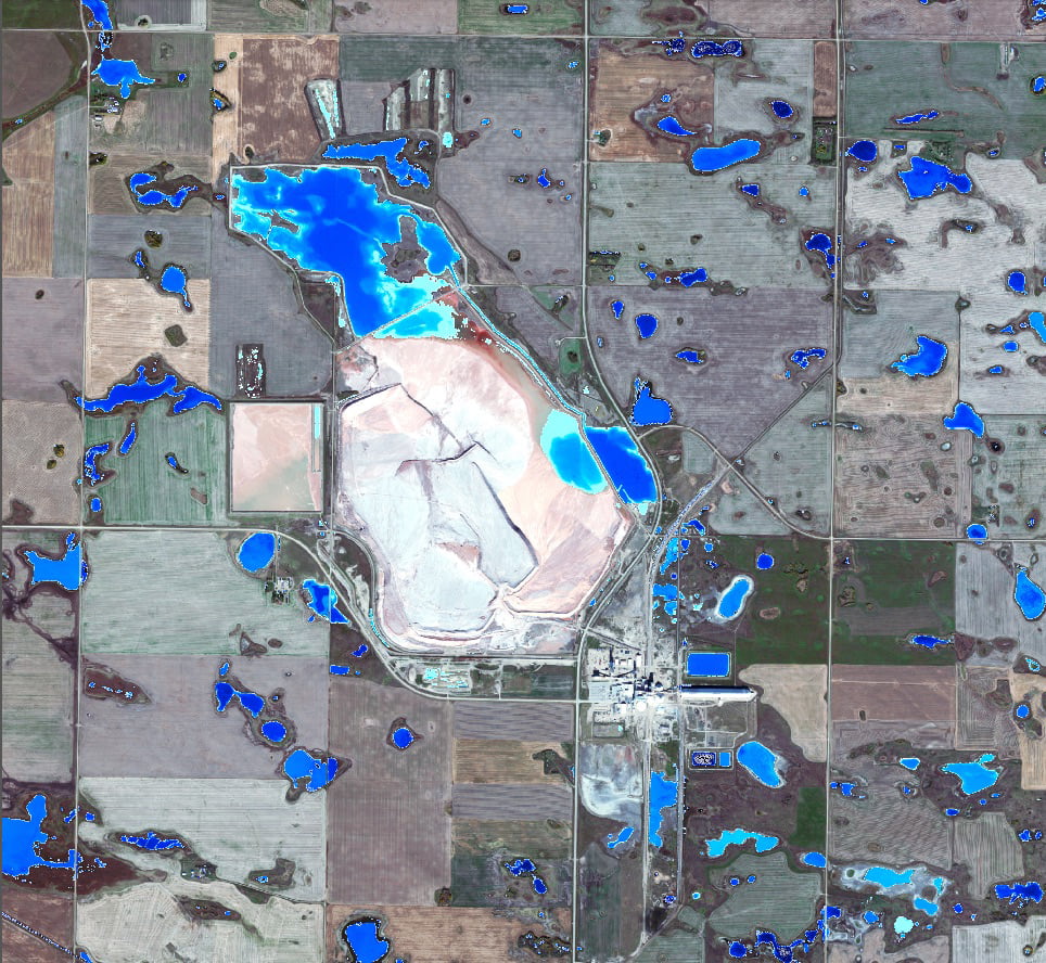
Monitoring environmental health and tracking change over time is something that is important to every operation in the resource development sector, but is especially so for mining operations. Mines have large footprints, often utilize potentially harmful chemicals and processes, and the operations can have lifetimes spanning decades.
The challenges they face monitoring environmental health can be numerous. Mines that began operations decades ago often lack full information about the environmental conditions that existed before the mine. In addition, the ground testing required for monitoring can be very time consuming and expensive. Getting quality information about past and current environmental health in an efficient and cost-effective manner can be difficult.
In order to address these challenges, Western Heritage has developed the Environmental Footprint Monitoring Platform, or EFMP. This platform uses 30-centimetre high-resolution satellite imagery to extract important information about environmental health and delivers it to environmental managers through an easy-to-access online platform. The platform identifies landcover types and monitors change and fragmentation of the landcover. It measures vegetation health based on vegetation greenness and productivity, or the change in biomass. It also measures aquatic health and change based on surface water depth, salinity and turbidity. These indices are well suited to the needs of potash producers.
Using 30-centimetre high-resolution satellite imagery to monitor environmental health has a few key advantages. One of these is the ability to look back using archival imagery to assess environmental conditions prior to or early on in the projects life cycle. Imagery is available from the early 1970’s on, and this can be used to more accurately assess baselines for reclamation, and investigate the source of past and current environmental conditions. Another advantage is the ability to monitor the entire project footprint at once. This allows managers to identify areas of potential concern and schedule ground testing or further analysis. This creates efficiencies in applying resources, making sure that time and money is used as effectively as possible.
Because the EFMP uses satellite imagery, WH Geomatics has had to be creative in ways to identify indices. An example is measuring salinity. Salinity does not naturally alter the reflectance of water, and therefore there is no way to directly detect saline water. Knowing the importance of this information to our customers, we had to find contextual clues to detect saline bodies of water. Salinity does alter the vegetation communities near the water, and based on this we have been able to map salinity in their project areas.
As technology changes, the way we look at the world is also changing. Environmental monitoring using satellite imagery has the potential to save time and money, and ensure the best possible information is available to decision makers.


